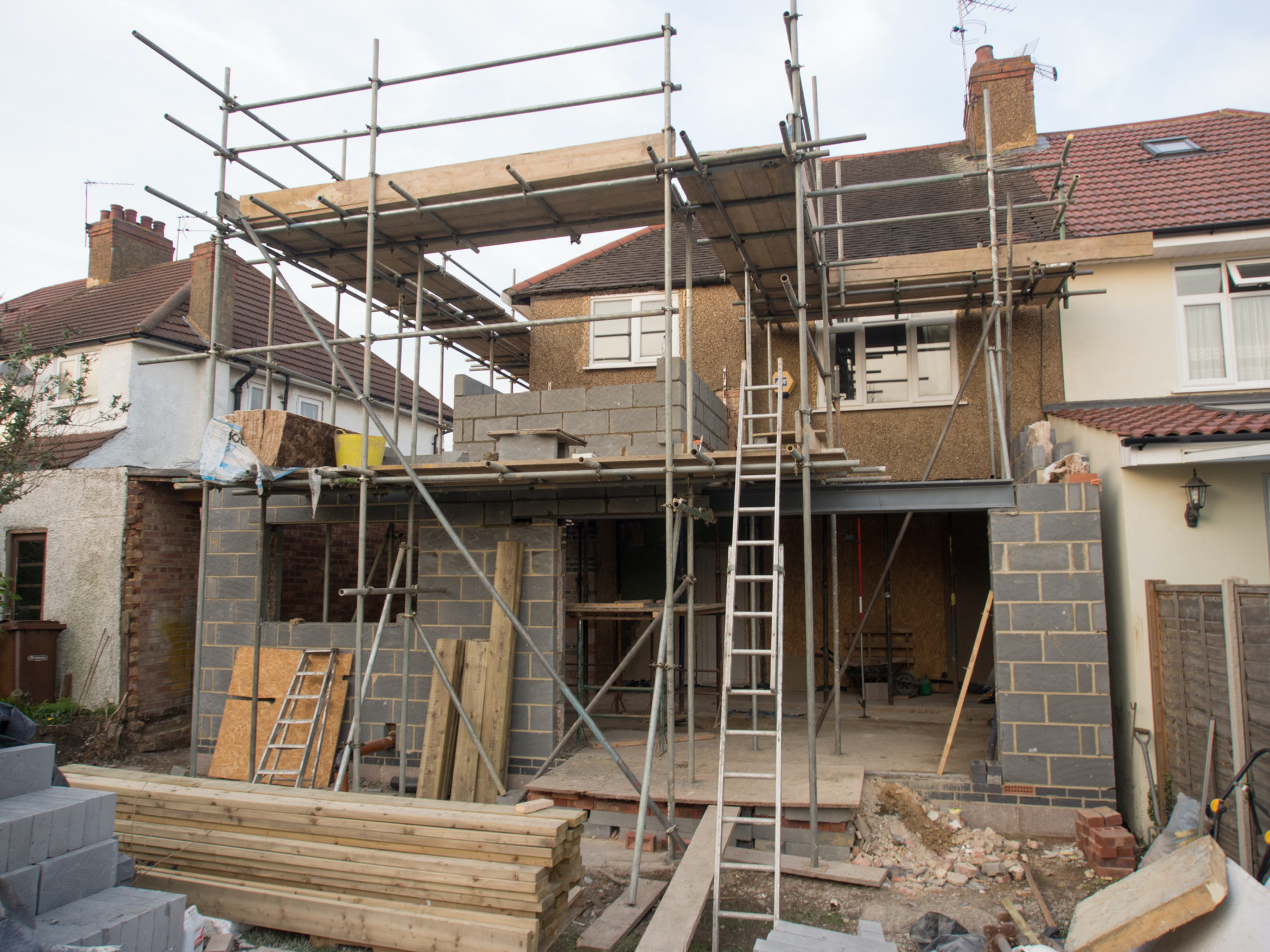
Roofing and building in Wareham
Roofing, brickwork and repointing, plastering and rendering, insulation, driveways and exterior cleaning across Wareham, Northport, Bestwall, Stoborough, Sandford, Worgret, Ridge and Arne. The only town we cover that is closed in by two rivers and a tidal harbour at once.
The site visit is free and so is the written itemised quote. Thomas Hannen prices every job himself.
Wareham, Dorset
Two rivers, one tidal harbour, three different kinds of water
Wareham is the only settlement in our area that is enclosed by two rivers and a tidal harbour at the same time. The Frome runs along the west and south, the Piddle along the north, and Poole Harbour begins immediately east at the head of the estuary. The Environment Agency runs three separate flood warning areas over the town, and they are not three descriptions of the same event.
| Warning area | Water body | Mechanism |
|---|---|---|
| Lower Frome from East Stoke to Wareham | Dorset Frome | Fluvial, from the west and south |
| River Piddle from Alton Pancras to Wareham | River Piddle | Fluvial, from the north |
| Poole Harbour at Wareham | English Channel | Tidal, from the east |
Others nearby get picked up by mistake, including Purbeck Rivers and Streams and Dorset coast at Poole Harbour. The agency gauges the town at station 44202, in a catchment named Frome, Piddle, Poole Harbour and Purbeck, with a second on the Frome at East Stoke, station 44207.
We lead this page on water rather than on architecture because tidal and fluvial flooding are different engineering problems, and a building responds to them differently.
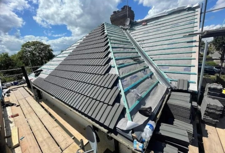
Tidal flooding is short, salt-laden and wind-driven, and it arrives with a storm surge, so the wind loading and the water turn up together. Fluvial flooding is long, freshwater and lagged behind the rain that caused it. Salt and driven rain punish coatings, fixings and ferrous rainwater goods. Prolonged standing water punishes below-DPC detailing and anything relying on a wall drying out between events. The specification changes, and so does the order we would spend your money in. The same split runs down the estuary in Poole and the harbour villages .
Ground
Gravel under the town, soft ground all the way round it
The old town stands on river terrace sand and gravel. Almost everything immediately around it does not. BGS 1:50,000 mapping puts the Broadstone Sand Member under the town centre, with river terrace sand and gravel over it. The parent unit is the Poole Formation, in the Bracklesham Group, Palaeogene in age, and BGS describes the setting as swamps, estuaries and deltas with shorelines. That is the dry point between the two rivers, described in hard data rather than in local legend.
This matters because the Poole Formation is not the London Clay and not the Branksome Sand. It sits between the two, is 67 to 110 metres thick, and BGS records it as reaching its fullest development in the Wareham and Poole areas. So the shrink-swell story that dominates much of southern England is not the story under the town centre. It becomes the story about a mile out.
| Where | Bedrock | Superficial deposit |
|---|---|---|
| Wareham town centre | Broadstone Sand | River terrace sand and gravel |
| The Quay and Frome edge | Broadstone Sand | Tidal flat deposits: clay, silt and sand |
| Northport | Broadstone Sand | Alluvium |
| Bestwall | Poole Formation | Tidal flat deposits |
| Stoborough | Broadstone Clay | Peat |
| Sandford | Oakdale Clay | River terrace sand and gravel |
| East Stoke | Creekmoor Clay | River terrace sand and gravel |
| Norden | Broadstone Clay | Head |
| Worgret | Parkstone Sand | River terrace deposits |
| Ridge, Arne and Furzebrook | Parkstone Sand | None mapped |
Read that table outwards and the shape of the place is obvious. Granular terrace in the walled town, alluvium at Northport where the Piddle comes in, tidal flat clay and silt at the Quay and at Bestwall, peat at Stoborough. One postcode district, four kinds of ground, which is why we will not price groundworks off a photograph.
Drainage
Sand takes a soakaway. Clay sends it back.
Whether a soakaway will work at your address around Wareham is decided by which part of the Poole Formation you are standing on, and the answer changes within two miles. On the sand and gravel it is geologically plausible and a BRE 365 percolation test has a fair chance of passing. On the clay units it usually does not.
- Sand and gravel ground. The town centre, the Northport ridge, Worgret, Ridge, Arne and Furzebrook. Infiltration drainage and soakaways are worth testing for, and a permeable surface can usually be made to work.
- Clay ground. Broadstone Clay at Stoborough and Norden, Oakdale Clay at Sandford, Creekmoor Clay at East Stoke. These are effectively impermeable. Soakaways typically fail here and the design needs a positive outfall instead.
- The river caveat. Close to the Frome or the Piddle a shallow water table defeats a soakaway whatever the permeability above it. Permeable material over saturated ground is a slower puddle.
There is a roofing consequence to the same split, and it is the part most people miss. Sand does not shrink and swell. The clay units do. A blocked gutter or a split downpipe discharging beside a foundation is therefore two different defects depending on the address. On the terrace under the town it is mostly a damp problem. On the clay at Stoborough, Sandford, Norden and East Stoke, wetting and drying the ground beside a foundation is a structural one. Same failure, two outcomes, two levels of urgency.
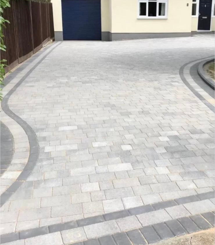
We are describing the lithology BGS maps, not quoting a hazard rating, and we will say so on site rather than dress it up. If you want the detail of how we build on each, see how we approach driveways and patios .
The housing stock
The town reads Saxon. The housing does not.
Only 12.4% of Wareham's dwellings were built before 1900, which is below the Dorset average of 17.8%. The figures come from the Valuation Office Agency council tax stock of properties table CTSOP4.1 at 31 March 2025, for the four small areas ONS assigns to the Wareham built-up area, which hold 2,980 dwellings between them. The walled town and the Georgian frontages are real. They are also a minority of the housing.
The dominant cohort is far more recent, and dominant by a wide margin.
| Build period | Wareham dwellings | Wareham share | Dorset share |
|---|---|---|---|
| Before 1900 | 370 | 12.4% | 17.8% |
| 1945 to 1954 | 220 | 7.4% | 5.6% |
| 1955 to 1964 | 260 | 8.7% | 7.6% |
| 1965 to 1972 | 670 | 22.5% | 11.1% |
| 1973 to 1982 | 400 | 13.4% | 12.0% |
| 2000 to 2008 | 40 | 1.3% | 7.0% |
One band carries the town. The 1965 to 1972 period accounts for 670 dwellings, 22.5% of everything, against 11.1% across Dorset. That is double the county rate in an eight year window. Widen it and 1,550 dwellings, 52.0% of the town, went up between 1945 and 1982, against 36.2% for Dorset. Wareham is a post-war town wrapped around a historic core, and its pre-1940 stock is 21.8% against 27.4% countywide.
What follows is arithmetic rather than opinion. A house finished in 1969 is past its fiftieth year, so coverings, underlay, flashings and rainwater goods original to it are at or beyond the point where they were expected to be working. That does not mean the roof has failed, and we will not guess what is on it from a build date. It does mean failures in that cohort arrive together rather than one house at a time, which is why a street can look fine for years and then produce five calls in a winter.
Planning, stated correctly
The Article 4 direction is about satellite dishes, not roofs
Wareham's Article 4 direction covers one thing, and that thing is satellite antennas. The direction, reference Art4D05, has an entry date of 16 May 1990. Its scope, in its own words, is the installation, alteration or replacement of a satellite antenna on a dwellinghouse or within the curtilage of a dwellinghouse. That is a satellite dish direction. It is not a roofing direction, and it is stated wrongly on a lot of pages.
Roof permitted development is genuinely limited inside the Wareham conservation area, but for a different reason. A conservation area is Article 1(5) land, and the standard household permitted development rules already withdraw rights there, including side-facing roof alterations and cladding. That restriction exists with or without an Article 4. Confusing the two leads people to assume they need consent when they do not, or that they are free when they are not.
A second direction exists, Art4D08 over land at Moretons Lane, starting on 27 September 1994. It concerns means of access to a highway, so it has nothing to do with roofs either. Listed building consent then applies in its own right to any listed property, which in Wareham is not a small number.
We would rather tell you what applies to your address and let you check it yourself. Ask us about your property
Designations
Designated in 1970, with Stoborough separate since 1988
Wareham Conservation Area was designated on 16 January 1970, the earliest designation of any town on this site. The Civic Amenities Act 1967 created conservation areas at all, so Wareham was designated within three years of the power existing. Stoborough is a separate conservation area, designated on 6 August 1988, south across the Frome. They are two designations, not one, and the boundary between them is a river.
Inside the town there are 185 listed building outlines, and the first-listing dates cluster hard: 119 on 7 May 1952 and 62 on 8 April 1976, with single entries in 1971, 1975 and 1989. Protection here was applied in two sweeps rather than gradually, and a property caught in the 1976 sweep is often a different kind of building from one caught in 1952.
The named entries make the point about water for us. North Bridge was listed on 7 May 1952, and so was the bridge to the south of West Mill over the River Piddle. Two of the town's listed structures are river crossings. The list also holds West Mill, Streche's Almshouses, Christmas Close Hospital, South Bestwall House, 3 The Quay and 4 Church Green. Wareham Railway Station came in on 8 April 1976, and the K6 telephone kiosk outside it was listed on its own on 15 February 1989.
Listed status changes the conversation from what is cheapest to what is acceptable, and it changes it before the scaffold goes up rather than after. Masonry repair on that stock is a lime and matching job, which is what our repointing work is built around .
Ball clay
One of three basins in the country, and this is one of them
Ball clay occurs in only three Palaeogene basins in the United Kingdom, and the Wareham Basin in Dorset is one of them. The other two are Bovey and Petrockstowe in Devon. BGS records that the clay units here comprise kaolinitic clay and silt, known as ball clay or pipe clay, and that kaolinitic clays tend to be dominant in the Wareham area.
The scale is not trivial. The Wareham Basin produced 250,000 tonnes in 2010, about a quarter of all UK sales, with around 50 people employed directly by the industry in Dorset. Underground mining in the Bovey and Wareham basins ceased in 1999 and the clay has been worked by open pit since. A Ball Clay Consultation Area covering 147 square kilometres was identified as long ago as 1953, updated in 2009, and is now the designated Mineral Safeguarding Area under the 2014 minerals strategy. Furzebrook is named in that strategy for moving the clay.
Dorset ball clays are noted for high plasticity and unfired strength, and they went into tile manufacture, electro-porcelains and refractories. There is a circularity in that for a roofer. Clay that fed regional tile making came out of the ground around this town, and the property that made it valuable in a kiln, its plasticity, is what makes it useless for a soakaway and lively under a foundation.
We will not name pits we have not verified, and we will not tell you who works the basin today, because the source we have for that is over a decade old.
Extensions and conversions
A new bedroom is a nutrient question. A new roof is not.
Wareham sits inside the Poole Harbour SPA and Ramsar nutrient neutrality catchment, and that requirement only engages when a scheme creates additional overnight accommodation. Development in the catchment that adds overnight accommodation has to demonstrate nutrient neutrality. Development that does not add any is simply outside the test.
The distinction is the difference between a straightforward job and one with an extra hurdle in front of it. It engages on an annexe, on a garage conversion into habitable rooms and on a loft conversion that adds a bedroom. It does not engage on a re-roof, repointing, render, insulation or a new driveway, because none of those create a place for anybody to sleep.
If you are thinking about a loft, tell us at the survey and we will be straight about what sits between you and a start date. If you mean the roof over the loft rather than a room inside it, this does not touch you.
What we do in Wareham
The trades, in the order this town generates them
Roofing first because half the town reached its service life at once. Groundworks second because the ground changes within two miles. Masonry and finishes after that.
Roofing
With 52.0% of the stock built between 1945 and 1982, and the 1965 to 1972 band alone at double the county rate, most of the work here is ageing coverings, underlay, flashings and rainwater goods on post-war housing. On the estuary side we watch for salt and for wind-driven rain arriving with a surge. In the conservation area and on the 185 listed outlines it becomes a matching and consent job instead.
Roofing servicesDriveways and patios
The trade where Wareham geology decides the design. Sand and gravel under the town, Worgret, Ridge, Arne and Furzebrook can often take infiltration. Broadstone Clay at Stoborough and Norden, Oakdale Clay at Sandford and Creekmoor Clay at East Stoke usually cannot, and want a positive outfall. Near either river a shallow water table overrides both.
Driveways and patiosBricklaying and repointing
The historic core and the two conservation areas carry the masonry work: lime mortar, hand raking, matched joint profiles and a repair that does not look newer than the wall around it. On the post-war estates it is usually boundary walls, chimney stacks and made-good openings instead.
Brickwork and repointingPlastering, rendering and insulation
Two eras, two approaches. Older solid-walled property in the walled town needs to breathe, so a modern skim over a wall that has not dried will blow again. The 1965 to 1972 stock is the opposite: cavity construction with loft insulation that has been compressed under storage for decades, which is one of the cheapest improvements available in this town.
Plastering and renderingWe also top up and re-lay loft and cavity wall insulation and we clean roofs, render and paving. On the estuary side that last one comes up often, because a damp, sheltered, salt-laden aspect grows moss and algae quickly on a north-facing slope, and softwashing rather than pressure washing is usually the right call on an older covering.
Questions
Wareham questions we get asked
Is my flood risk in Wareham from the rivers or from the harbour?
Possibly both, and they are separate designations. The Environment Agency runs three flood warning areas over the town: Lower Frome from East Stoke to Wareham, River Piddle from Alton Pancras to Wareham, and Poole Harbour at Wareham. The first two are fluvial and the third is tidal. A property can sit outside one and inside another, so check all three rather than assuming one answer covers the whole town.
Will a soakaway work for a new driveway at Stoborough or Sandford?
Usually not. BGS mapping puts Broadstone Clay under Stoborough and Norden, Oakdale Clay under Sandford and Creekmoor Clay under East Stoke. Those units are effectively impermeable, so a soakaway typically fails a BRE 365 percolation test and the design needs a positive outfall instead. On the sand and gravel under the town centre, Worgret, Ridge and Arne, infiltration is geologically plausible. Near either river a shallow water table can defeat a soakaway anyway.
Does Wareham's Article 4 direction mean I need permission to re-roof?
No. The Article 4 direction over Wareham Conservation Area, reference Art4D05 with an entry date of 16 May 1990, covers the installation, alteration or replacement of a satellite antenna on a dwellinghouse or within its curtilage. That is its entire scope. Roof permitted development is restricted inside the conservation area, but that comes from the standard rules on Article 1(5) land, not from the Article 4 direction.
Why would a Wareham house built in the late 1960s need roof work now?
Because of when it went up. Valuation Office Agency records for the Wareham built-up area show 670 dwellings built between 1965 and 1972, which is 22.5% of the stock against 11.1% across Dorset. Over half the town, 52.0%, was built between 1945 and 1982. That cohort is now 50 to 80 years old, so original coverings, underlay, flashings and rainwater goods are at or past their service life.
Does nutrient neutrality affect a loft conversion in Wareham?
It does if the conversion adds a bedroom. Wareham sits inside the Poole Harbour SPA and Ramsar nutrient neutrality catchment, and development there that creates additional overnight accommodation has to demonstrate nutrient neutrality. That catches annexes, garage conversions into habitable rooms and loft conversions that add a bedroom. It does not catch a re-roof, repointing, rendering, insulation or a new driveway, because none of those add overnight accommodation.
Which villages around Wareham do you cover?
We work across BH20, which is wholly Dorset Council: 723 live postcodes, none of them in the BCP area, spread over 21 civil parishes. That takes in Sandford, Northport, Bestwall, Stoborough, Ridge, Worgret, Arne, Furzebrook, East Stoke, Norden, Holmebridge, Binnegar, Stoborough Heath, Corfe Castle, Wool and Bere Regis. Note that Stoborough, Ridge and Worgret sit in Arne parish rather than Wareham Town, which matters when you look up planning history.
Wareham comes under Dorset Council, and the town parish held a population of 5,876 across 2,750 households at the 2021 census. Two points of local geography are worth keeping. Only Northport and Bestwall sit inside Wareham Town parish, so Stoborough, Ridge and Worgret belong to Arne and Sandford to Wareham St Martin. And BH20, roughly 19 kilometres across, does not reach Holton Heath or Lytchett Matravers, which are BH16. We cover that ground too, but the postcode will not tell you the parish, and the parish is what planning records are filed under.
Trade by trade
Each trade, written for Wareham
The same local evidence, read through each trade in turn. Ground conditions decide a driveway, exposure decides a roof, and the age of the housing decides insulation.
- Roofing in Wareham
- Flat roofing in Wareham
- Bricklaying and repointing in Wareham
- Repointing in Wareham
- Driveways and patios in Wareham
- Patios in Wareham
- Plastering and rendering in Wareham
- Rendering in Wareham
- Insulation in Wareham
- Loft insulation in Wareham
- Wall insulation in Wareham
- Exterior cleaning in Wareham
- Gutter cleaning in Wareham
- Fascias, soffits and guttering in Wareham
Who you are dealing with
A local firm you can check
Wareham is ours, along with Northport, Bestwall, Stoborough, Ridge, Worgret, Sandford, Arne, Furzebrook, Norden, Corfe Castle, Wool and Bere Regis. That is the whole of BH20, and none of it falls in BCP.
You are dealing with Bournemouth Roofing & Building, the trading name of Bournemouth Roofing & Building Ltd, registered in England and Wales, company number 15471719. That takes a minute to check. Thomas Hannen owns the firm and he prices every job himself, so the person who quotes it is the person answerable for it. One multi-trade team does the work, and none of it is sub-contracted out to somebody you have never met.
There is a verified customer's 10 out of 10 on our Checkatrade profile. The site visit is free and so is the written itemised quote. The phone is answered 24 hours for emergencies, and scheduled work runs Monday to Friday, 8am to 6pm.

Free quote
Get a price for your Wareham property
Tell us the street and which side of the water you are on. If the property is listed, in the conservation area, or out on the clay at Stoborough or Sandford, say so, and we will price the job that address actually needs.